



CLS View

Opis CLS View
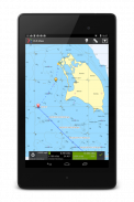
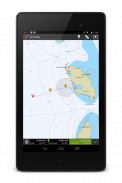
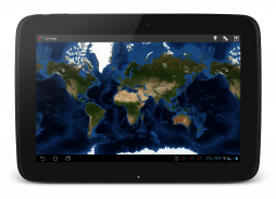
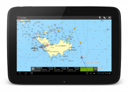
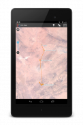
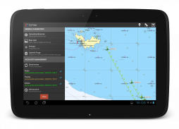
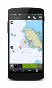
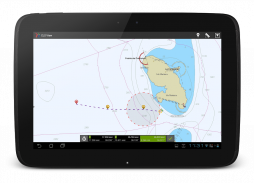
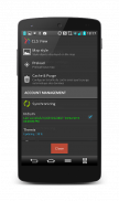
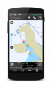
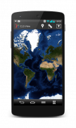
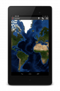
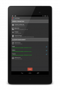
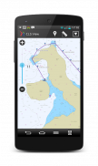
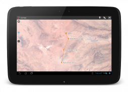
CLS View allows you to view your Argos Web, MyData, Fish Web or Themis Web tracking data on your android device. CLS View provides a user-friendly atmosphere for maritime and terrestrial applications, by displaying maritime mobile positions on detailed marine charts or terrestrial mobile positions on openStreetMap and /or satellite maps. In addition, CLS View can display any WMS or TMS map layer.
Tracking functions include: Displaying locations(date, latitude/longitude, speed and heading), measuring distance between two points, and calculating estimated time of arrival.
For more information, please visit: https://www.cls.fr/wp-content/uploads/CLS_viewBrochuresCLS-Group-EN-V2.pdf
Please note: The tracking/position display function are available for CLS clients only: CLS View automatically connects to the CLS server to download 20 days of tracking data.


